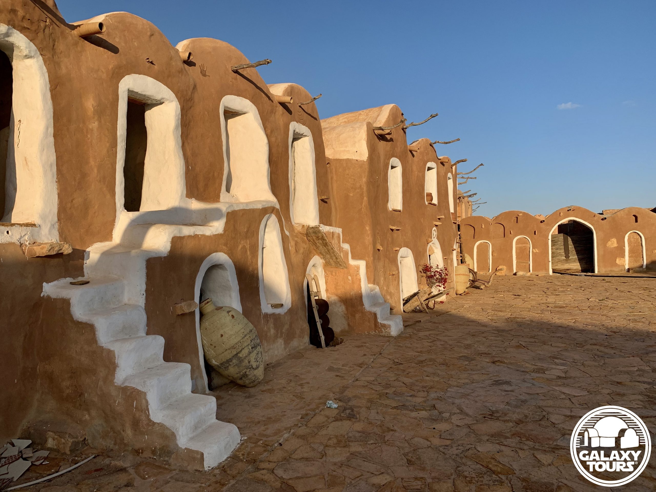
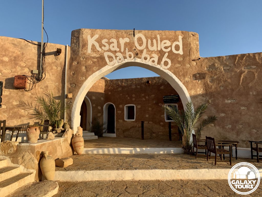
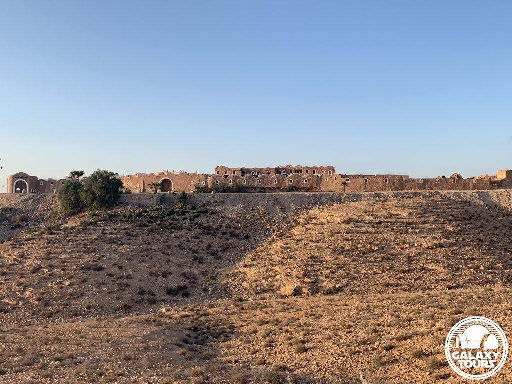
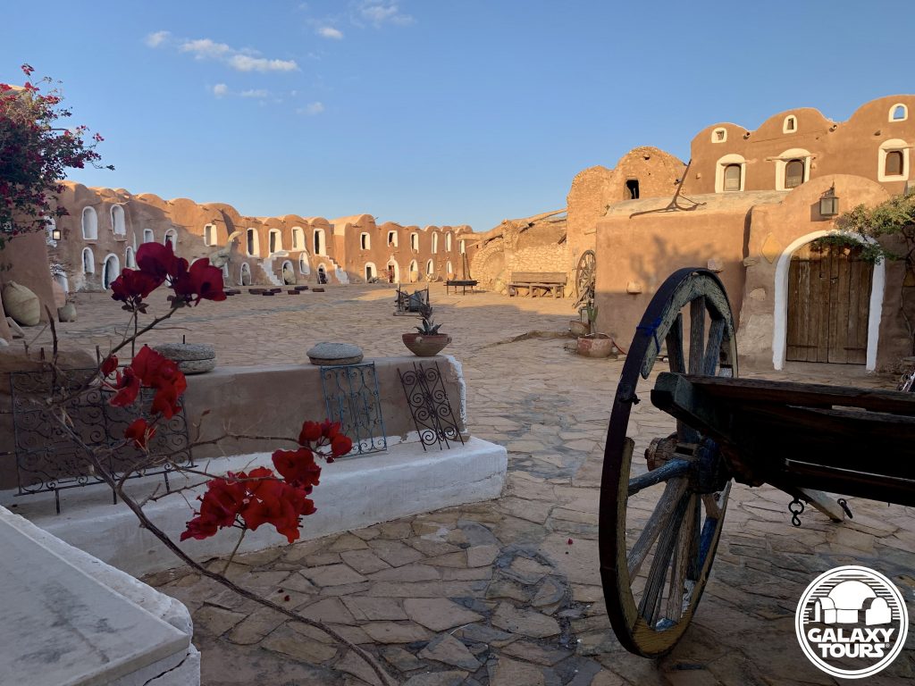
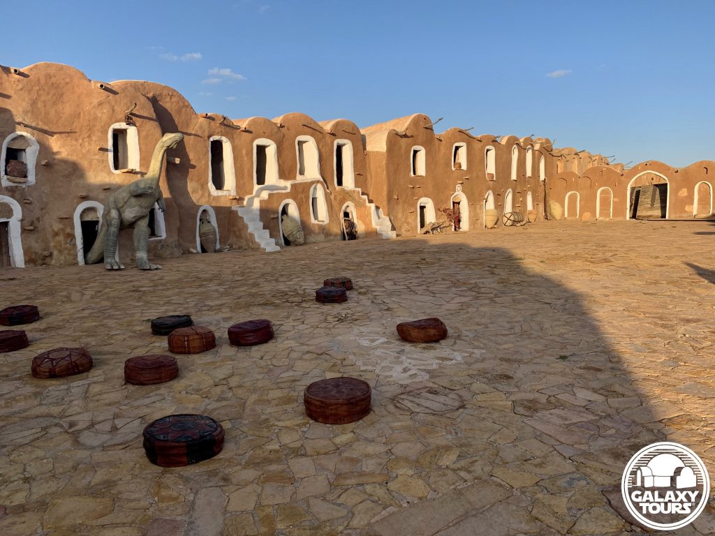
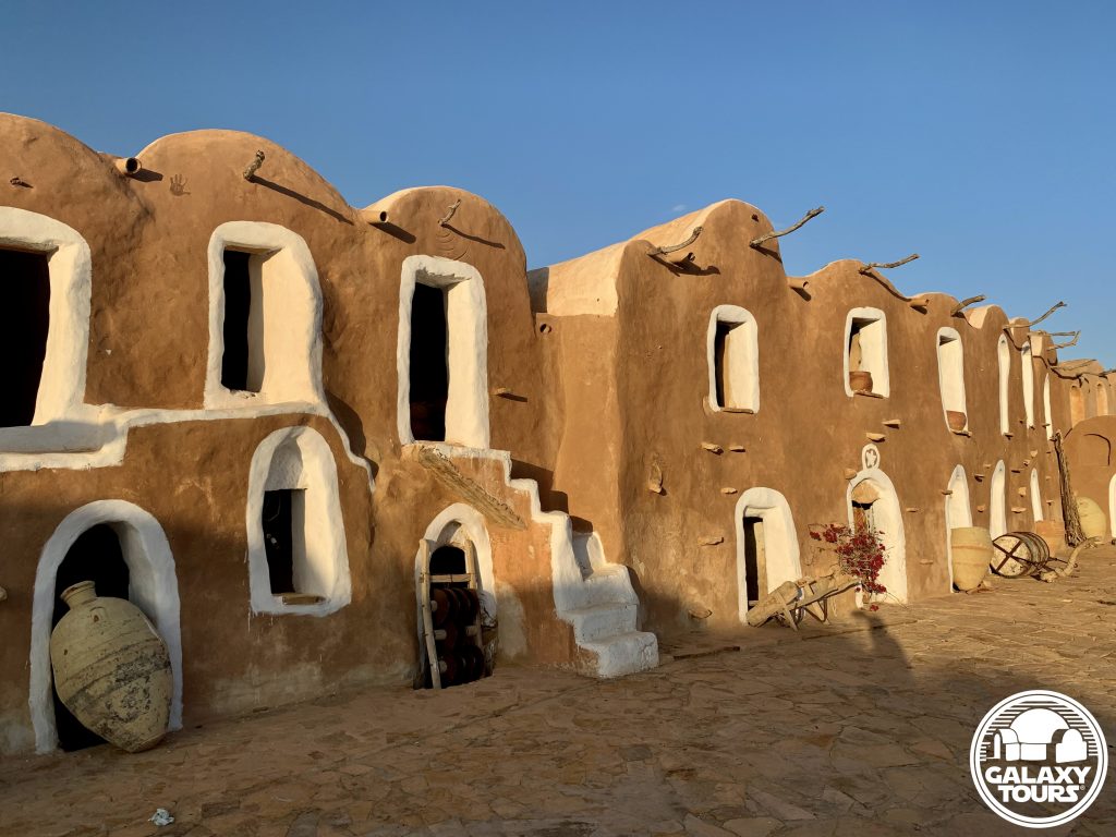
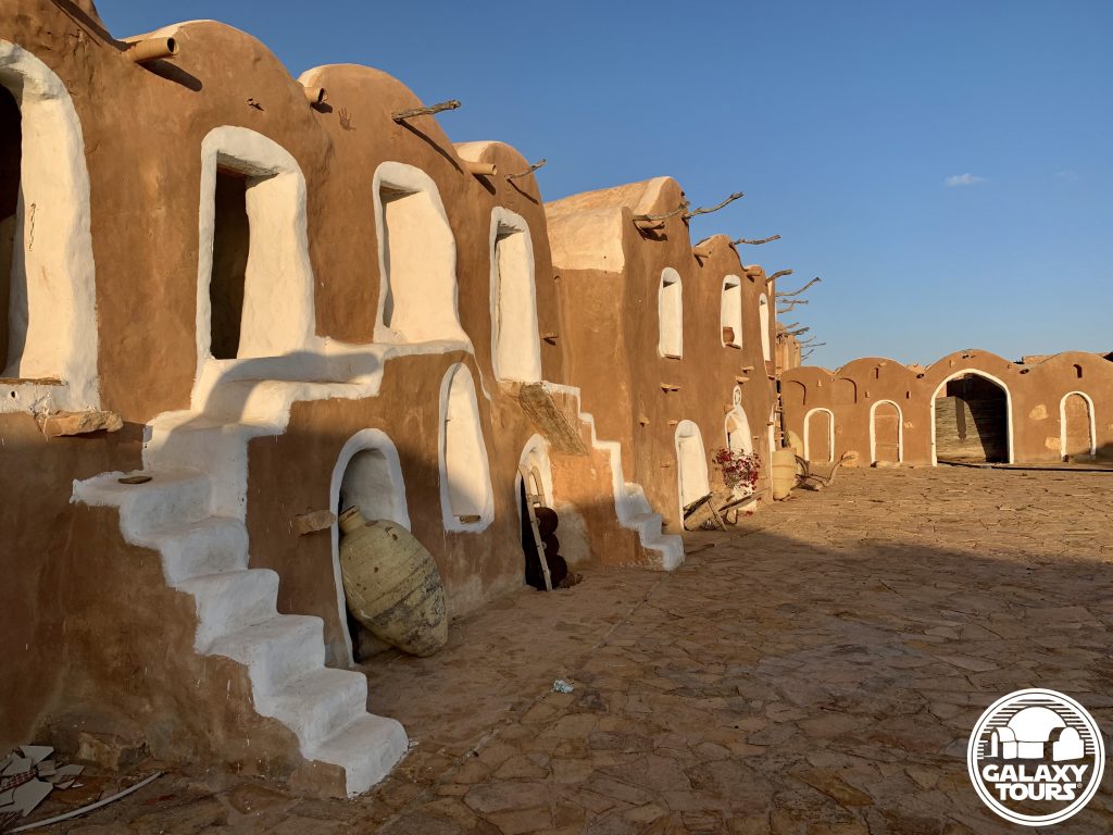
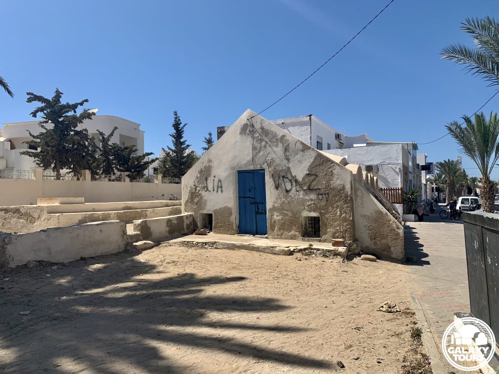
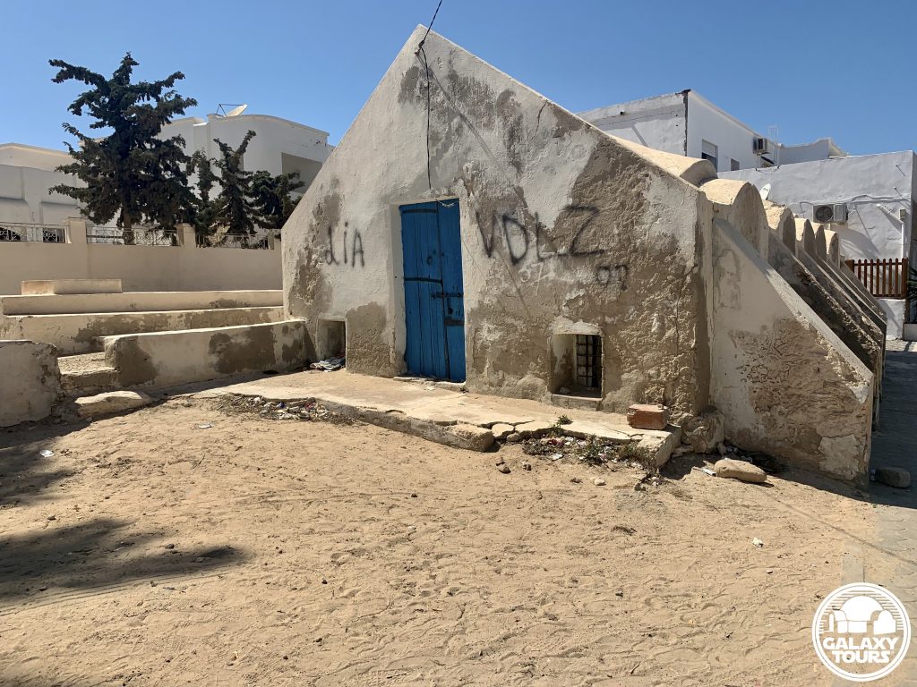
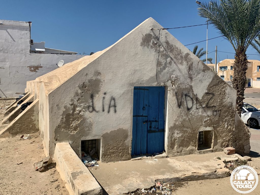
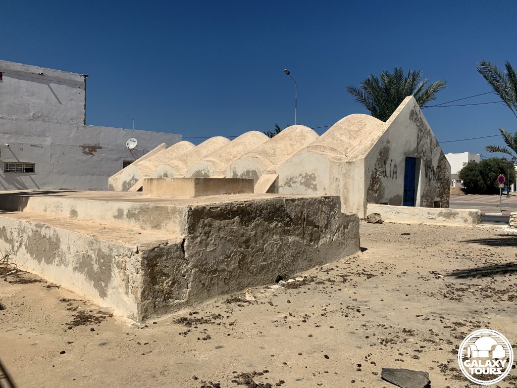
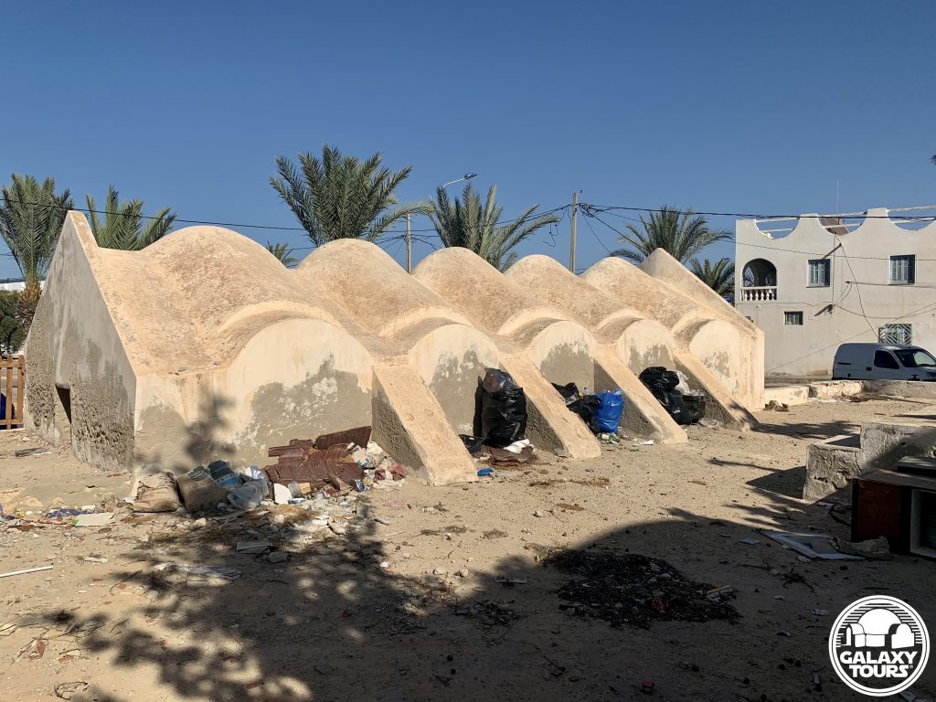
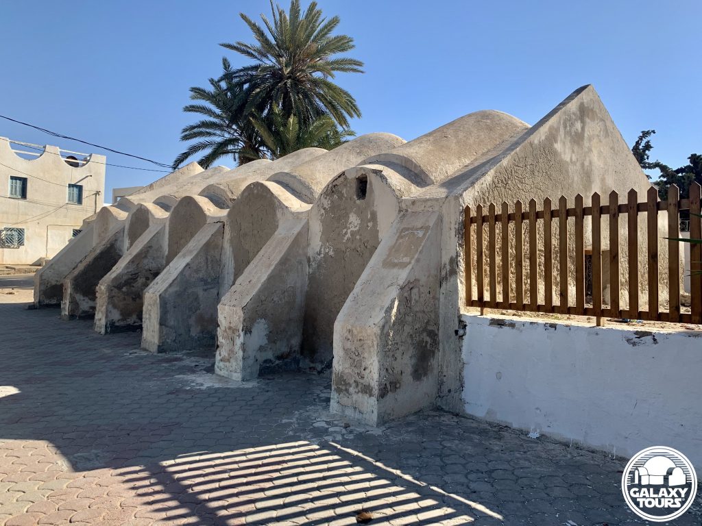
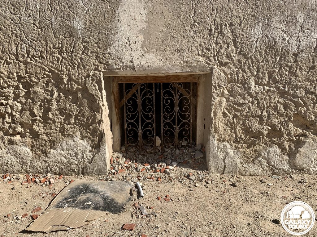
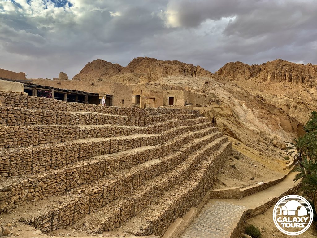
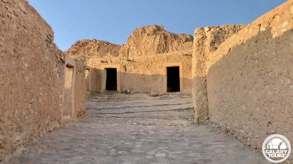
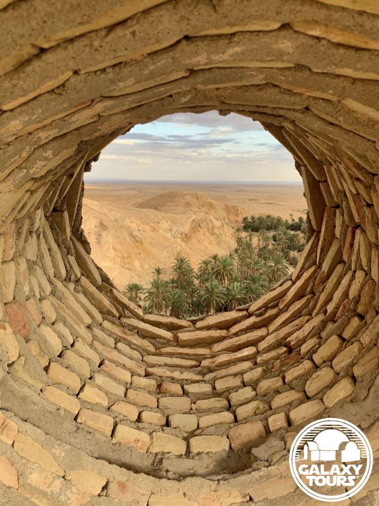
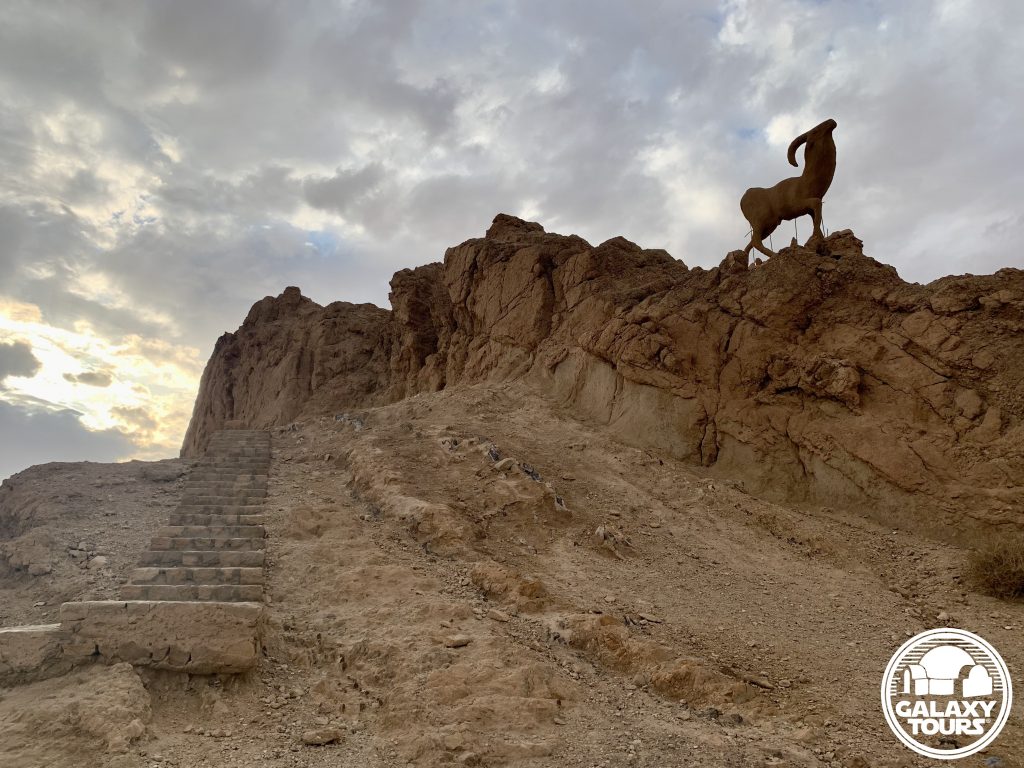
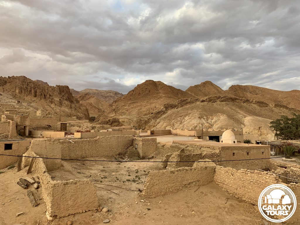
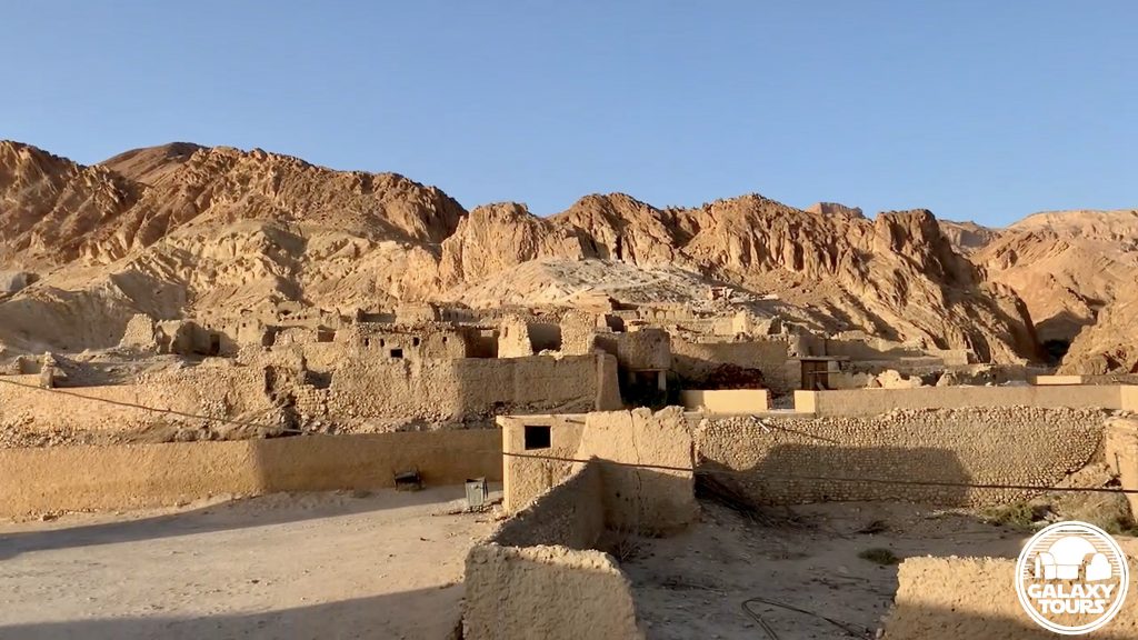
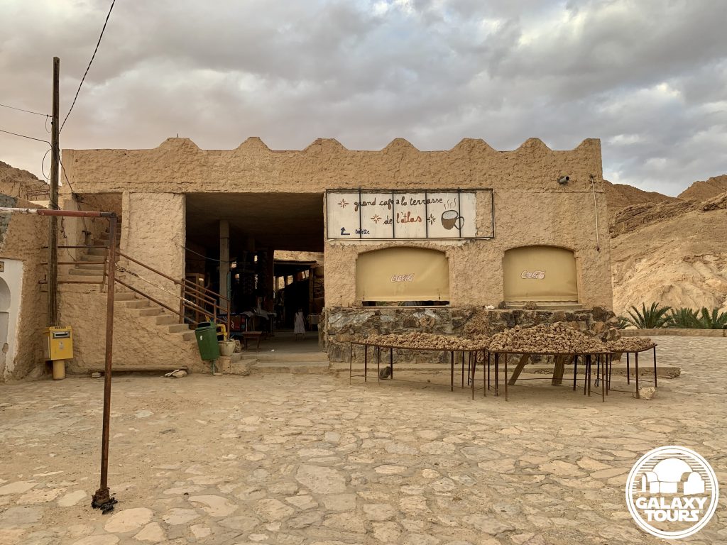
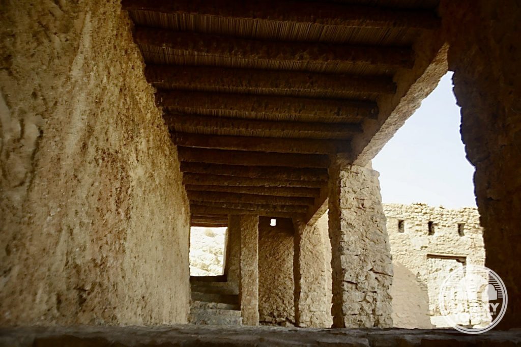
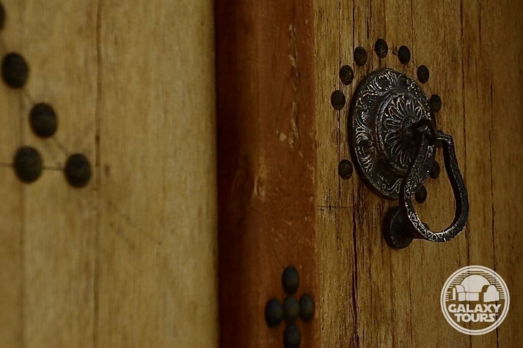
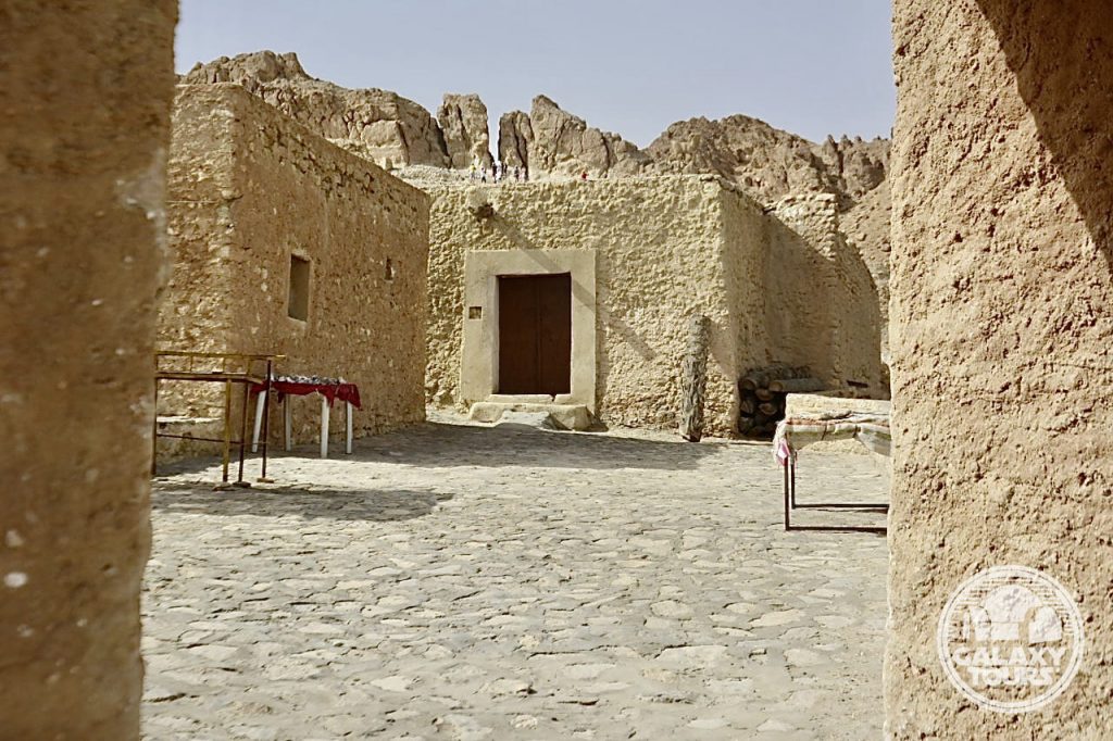
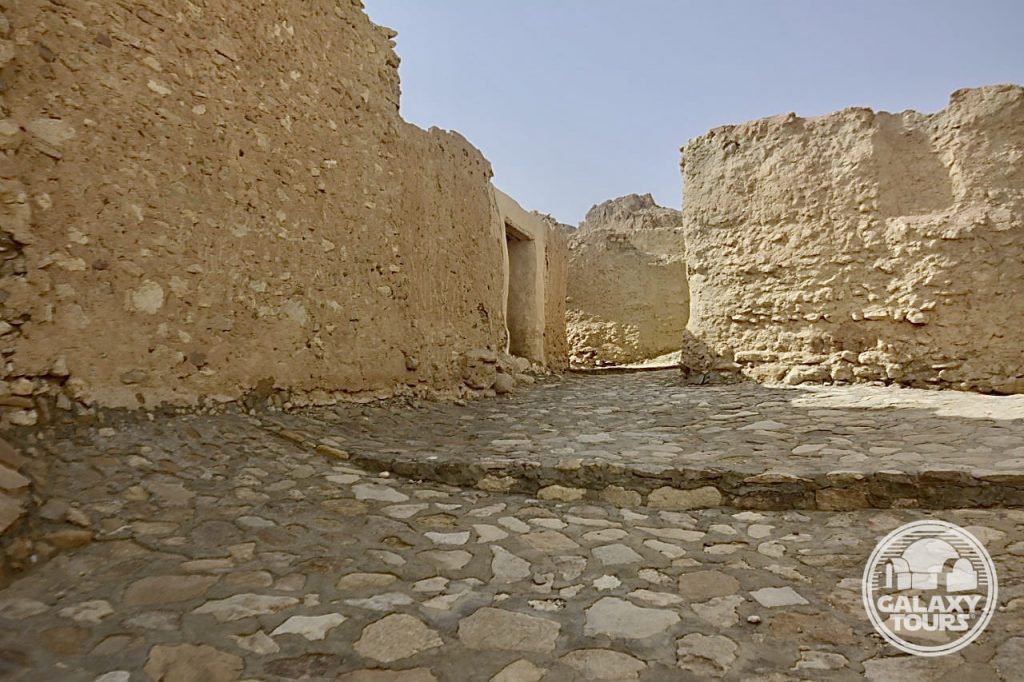
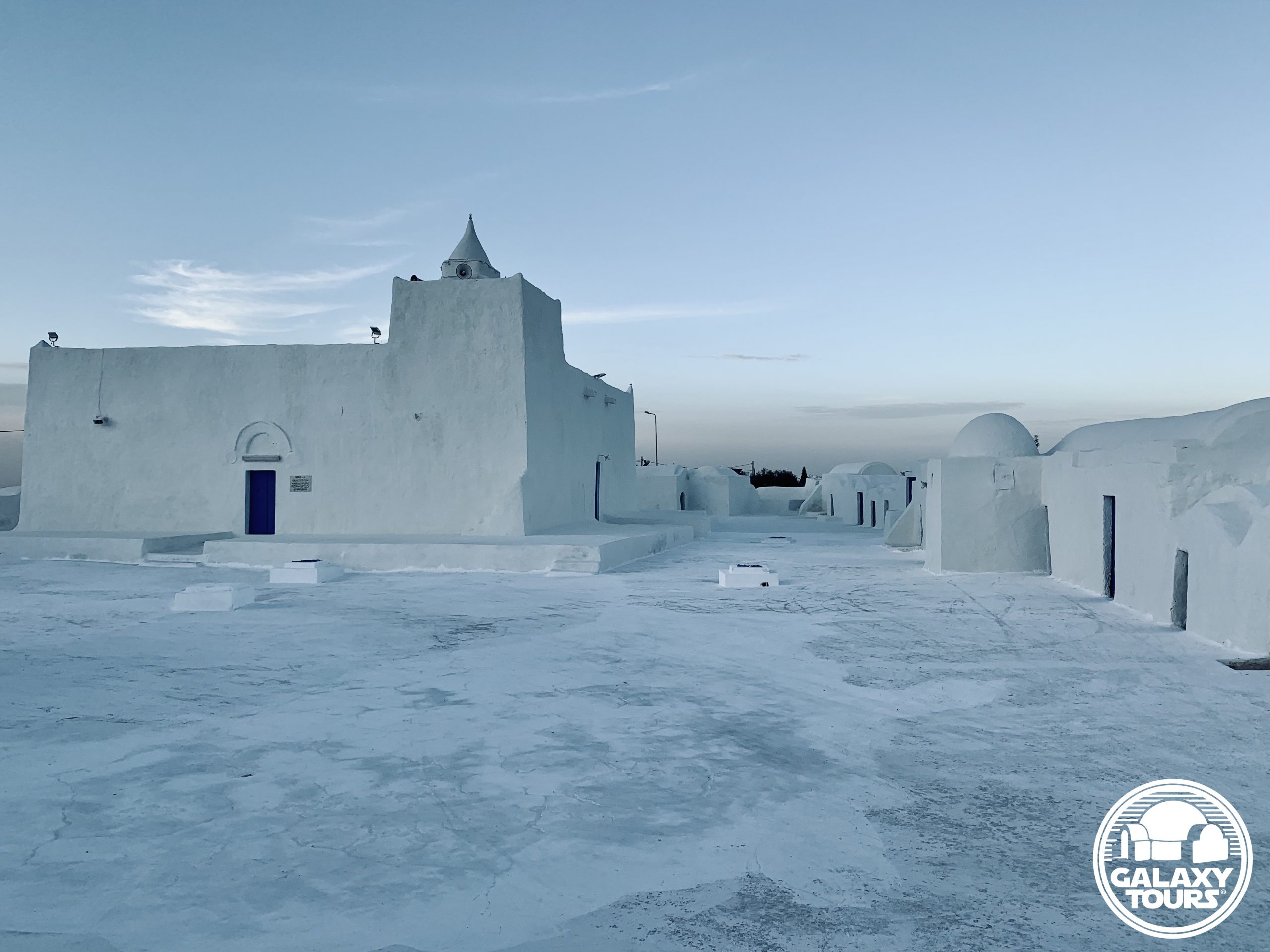
Ksar Ouled Debbab
OVERVIEW
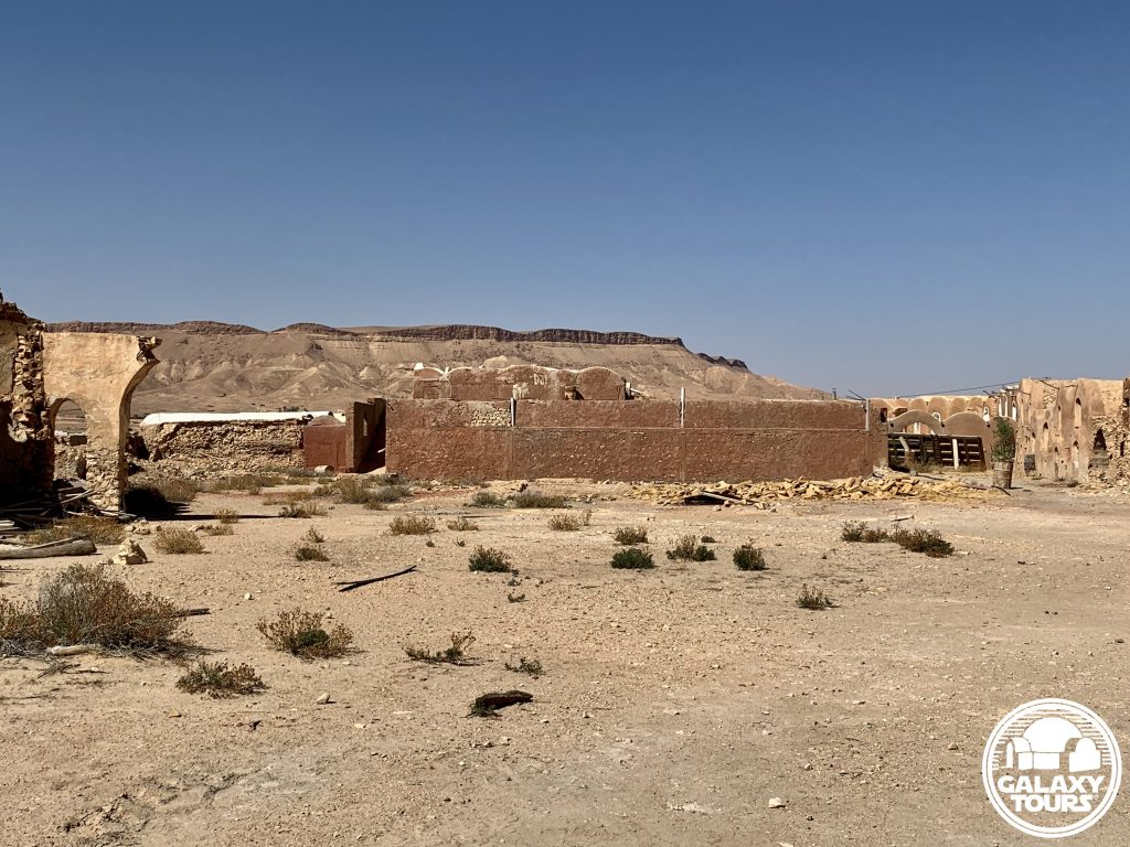
Site: Ksar Ouled Debbab
GPS: 32.869731, 10.381757
Location: Ksar Ouled Debbab village, Tataouine Governorate, southeast Tunisia
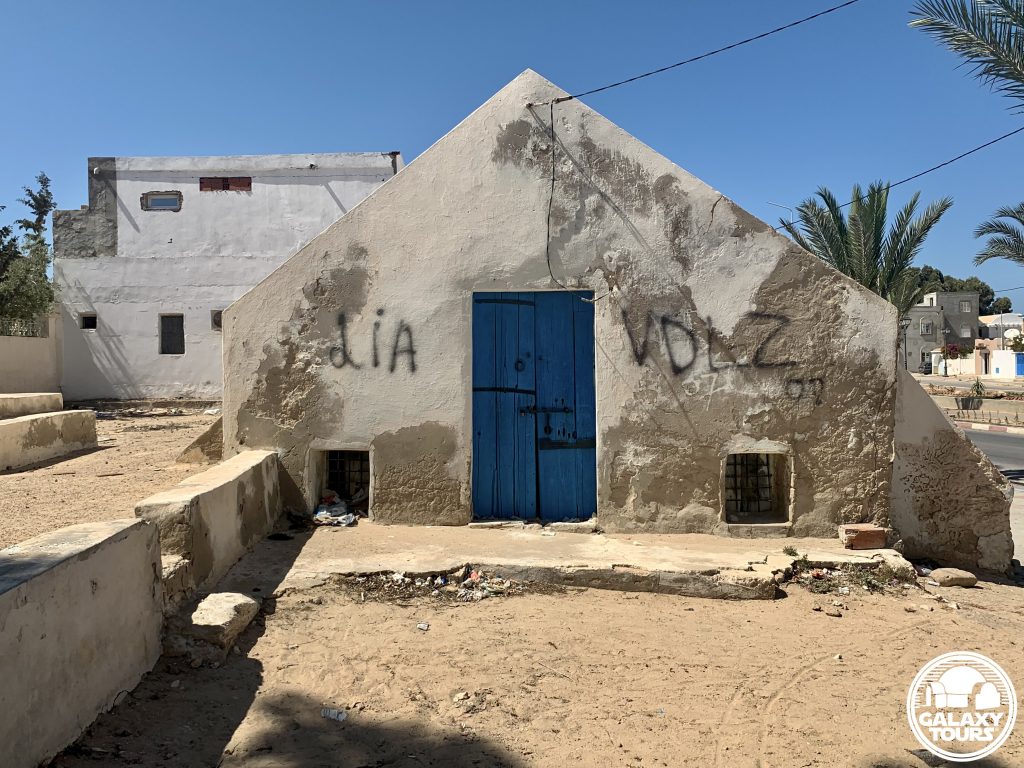
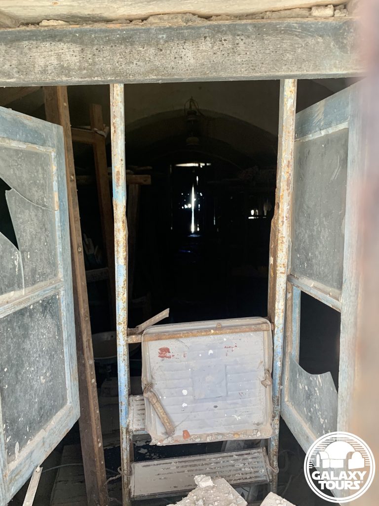
Description: Amazigh fortified granary (mid-18th century CE)
Star Wars recce:
Episode IV – Tunisia (November 1975)
Source: Original recce photographs & recce sketch (Barry)
Star Wars scouted set concept:
Mos Eisley | slums street
Star Wars screenplay change | Cut location confirmation:
Fourth draft (1 January 1976) | Head of Departments Meeting (23 January 1976)
Star Wars connection discovery & follow-up:
Galaxy Tours (5 March 2021 & 29 May 2022)
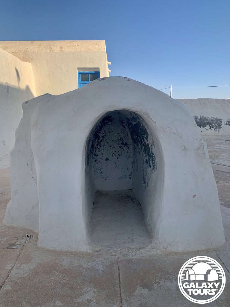
More Mos Eisley (almost): For roughly a six-week period (mid-November 1975 to early January 1976), Ksar Ouled Debbab was locked in as a second fictional Mos Eisley location in Tunisia (paired with Ajim). Due to budget constraints and logistical hurdles associated with filming at a site located so far south in the Tataouine region, the Mos Eisley slums street scene envisioned for Ksar Ouled Debbab was replaced in the fourth draft (1 January 1976) with scene 48 [Ben: “These are not the droids you’re looking for”] to be shot in Ajim. Gary Kurtz (producer) confirmed in a department heads meeting on 23 January 1976 that this script change was final, eliminating the scene in which Luke stops his landspeeder to ask a group of “Jawas gathered around a solar heater” directions to the cantina. The decision to remove Ksar Ouled Debbab from the shooting schedule came just two months before production began in Tunisia on 22 March 1976.
Jawa village: In a Rolling Stone interview (August 1977), George Lucas provided his perception of Tunisian ksour, with specific reference to Ksar Ouled Debbab (although not mentioned by name): “We had a Jawa village scene in the film but we didn’t shoot it because the location was too far away, we just cut that out to keep on budget. We found these great things in Tunisia, little grain houses that were four stories high but with little tiny doors, little tiny windows, it was a hobbit village. So we had a whole sequence with these little hobbit-world slum dwellers but we had to cut it out.”


Hanout el-Aouina
OVERVIEW
Site: Hanout el-Aouina workshop
GPS: 33.882018, 10.855994
Location: Houmt Souk, Médenine Governorate, Djerba island, Tunisia
Description: Djerban wool weaving workshop (abandoned) (18th century CE)
Star Wars recce:
Episode IV – Tunisia (November 1975)
Source: Original recce photograph (Barry)
Star Wars scouted set concept:
Mos Eisley | Cantina (exterior)
Star Wars connection discovery:
Galaxy Tours (13 May 2022)
Name: Built in the 18th century CE by the Seoud family, the name Hanout el-Aouina in Tunisian Arabic means “the plum workshop,” suggesting the presence of a prominent plum tree in the immediate vicinity in former times.
Limited space: Situated in a compact area along the busy Avenue Habib Bourguiba near the Houmt Souk city center, securing adequate production space at Hanout el-Aouina would have been highly problematic, suggesting that likely only minimal consideration was given to transform the workshop into the Cantina.
Houmt Souk: Although unconfirmed, several unidentified recce photos from John Barry’s collection might possibly conclude that the Episode IV recce team also scouted various market streets inside the Houmt Souk city center in the general vicinity of Hanout el-Aouina.


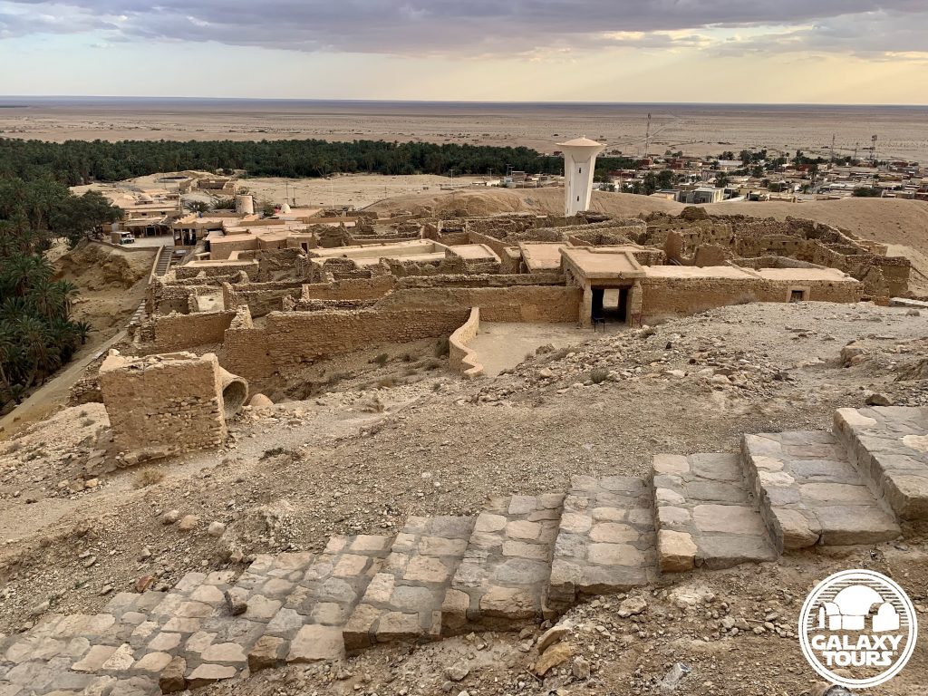
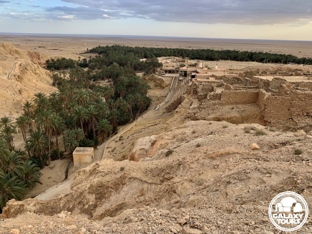
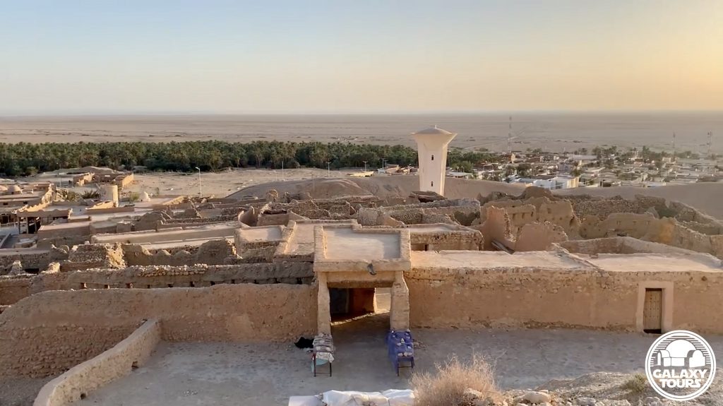
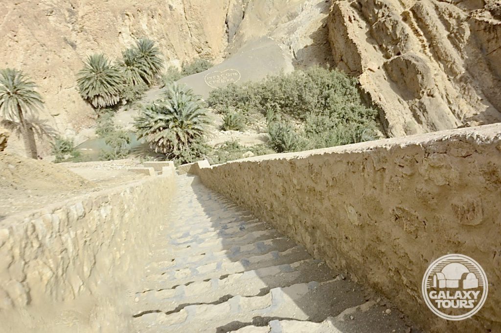
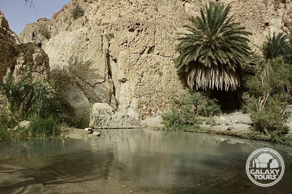
Chebika
OVERVIEW
Site: Ancient Chebika
GPS: 34.321577, 7.938975
Location: Tozeur Governorate, southwest Tunisia
Description: Ruins (Roman era)
Star Wars recce:
Episode IV – Tunisia (November 1975)
Source: Original recce sketch (Barry)
Star Wars scouted set concept:
Mos Eisley spaceport | various elements
Star Wars connection confirmation:
Galaxy Tours (8 July 2021)
Key factors: Although scouted as a potential alternative to Ajim, Chebika was likely never considered a true viable option to represent Mos Eisley for several key reasons: (1) Chebika’s remote mountainous setting seemingly presented steep logistical challenges, (2) budget constraints rendered the task of dressing an entire ruins area with set decor as highly unrealistic, and (3) Ajim proved to be more practical, economical, and accessible for production.
Screenplay setting: The rugged mountainous landscape surrounding Chebika (unlike Ajim) matched the screenplay concept for a “bluff overlooking Mos Eisley spaceport,” initially introduced in the third draft (1 August 1975).


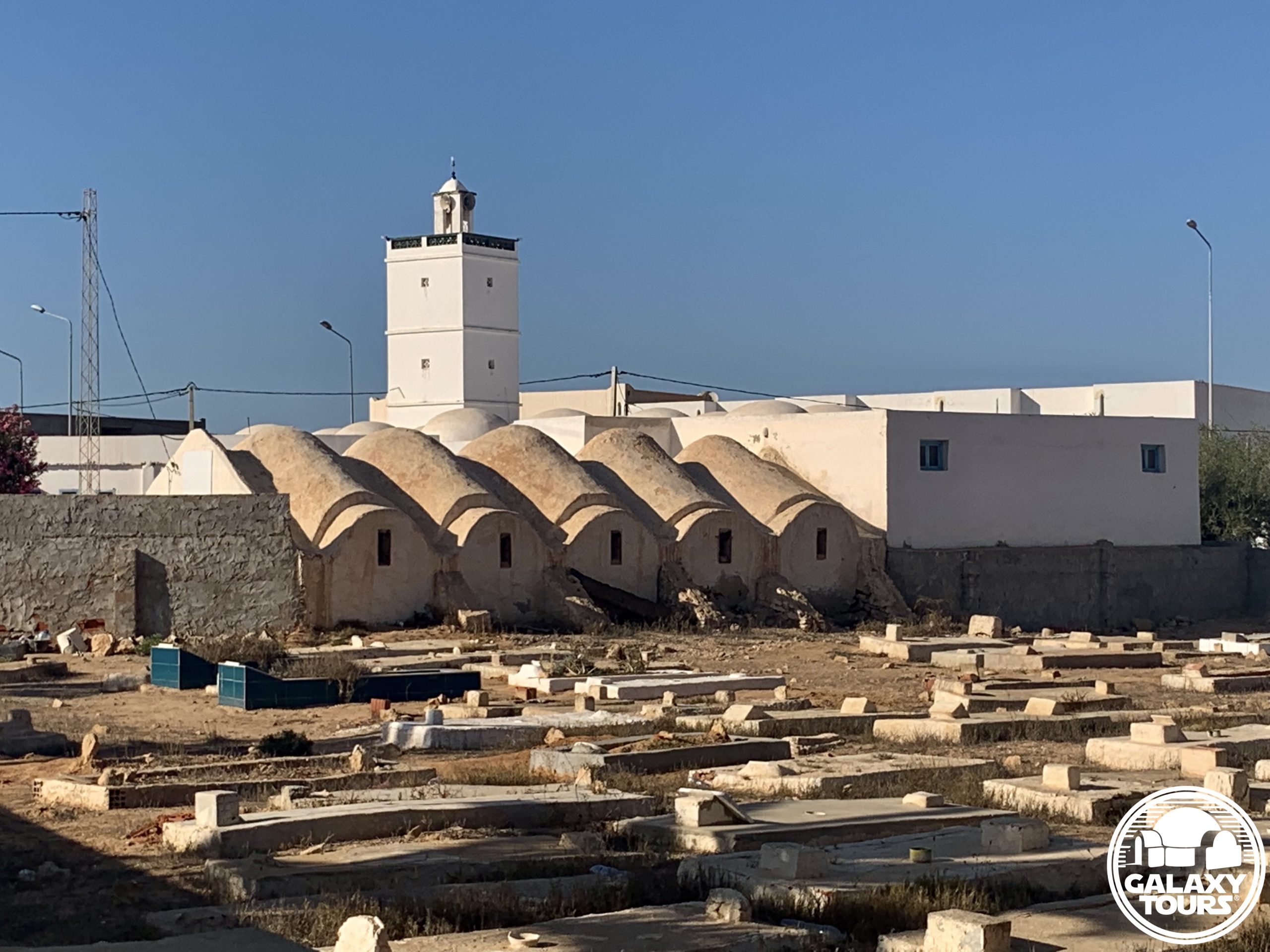
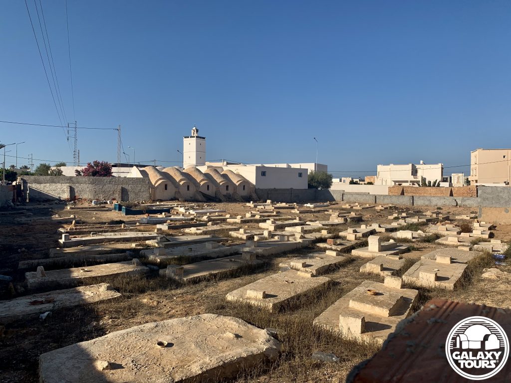
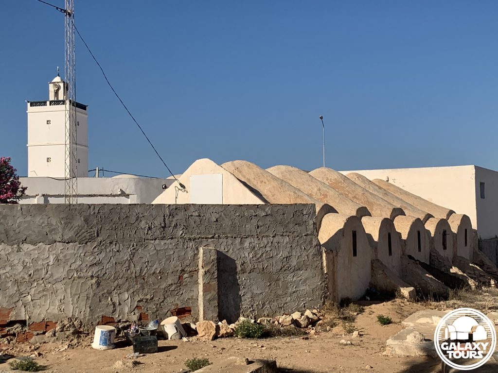
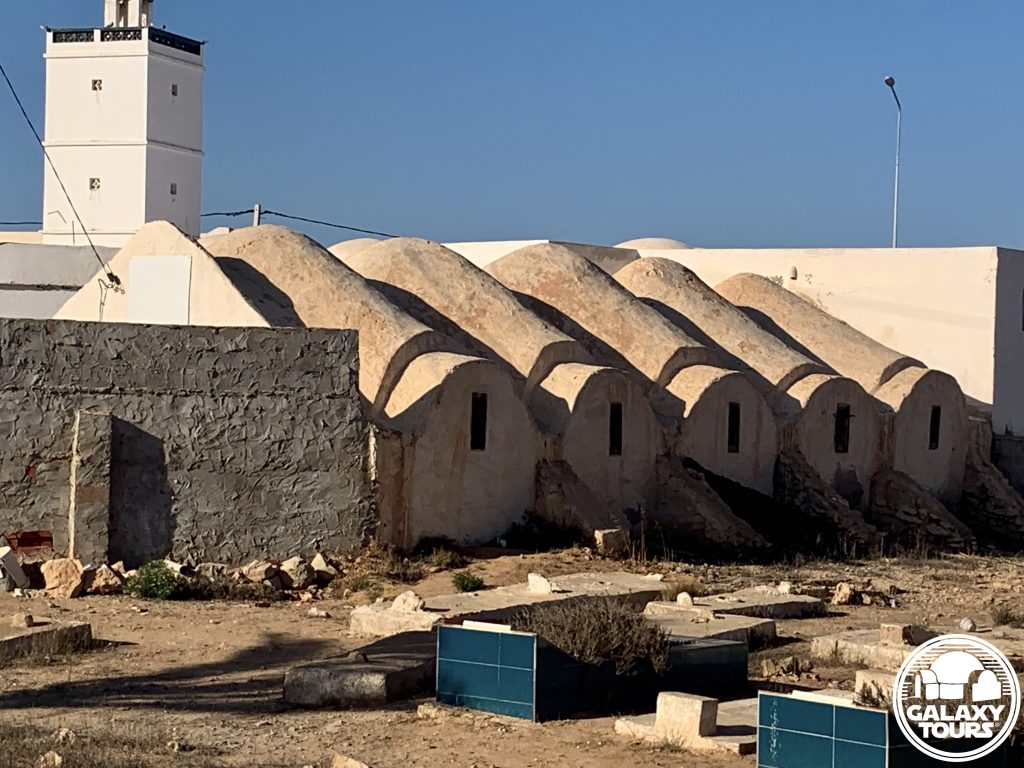
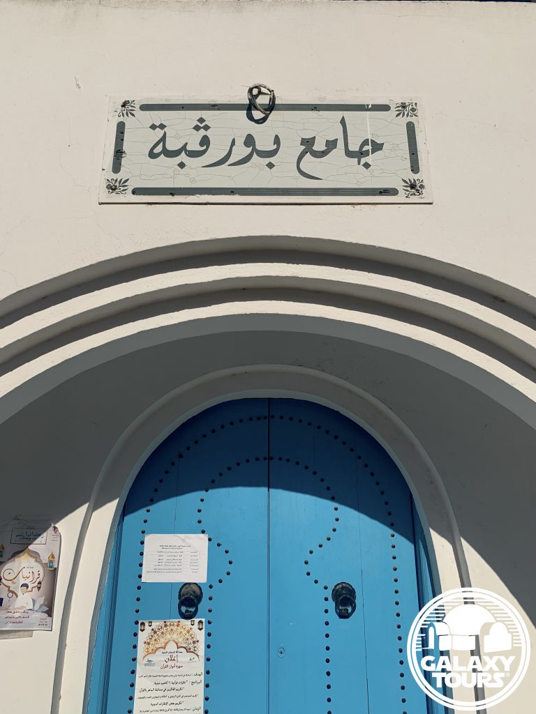
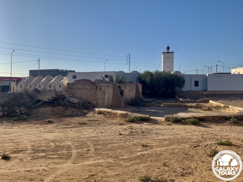
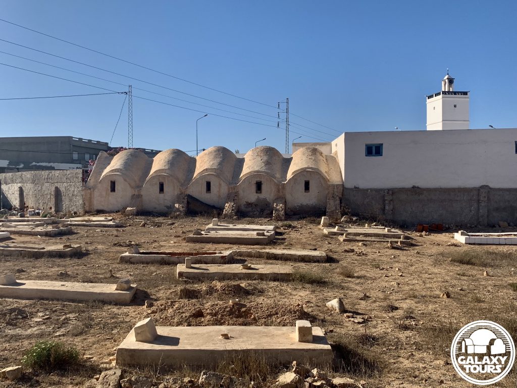
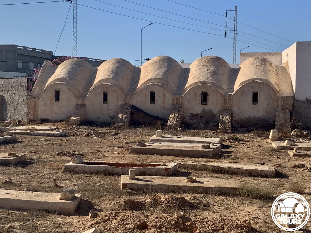
Bouregba Mosque
OVERVIEW
Site: Bouregba Mosque complex
GPS: 33.746187, 10.920452
Location: Sedouikech, Médenine Governorate, Djerba island, Tunisia
Description: Ibadi complex (late 19th century CE)
Star Wars recce:
Episode IV – Tunisia (November 1975)
Source: Original recce photograph (Barry)
Star Wars scouted set concept:
Mos Eisley | Cantina (exterior)
Star Wars connection discovery:
Galaxy Tours (13 May 2022)
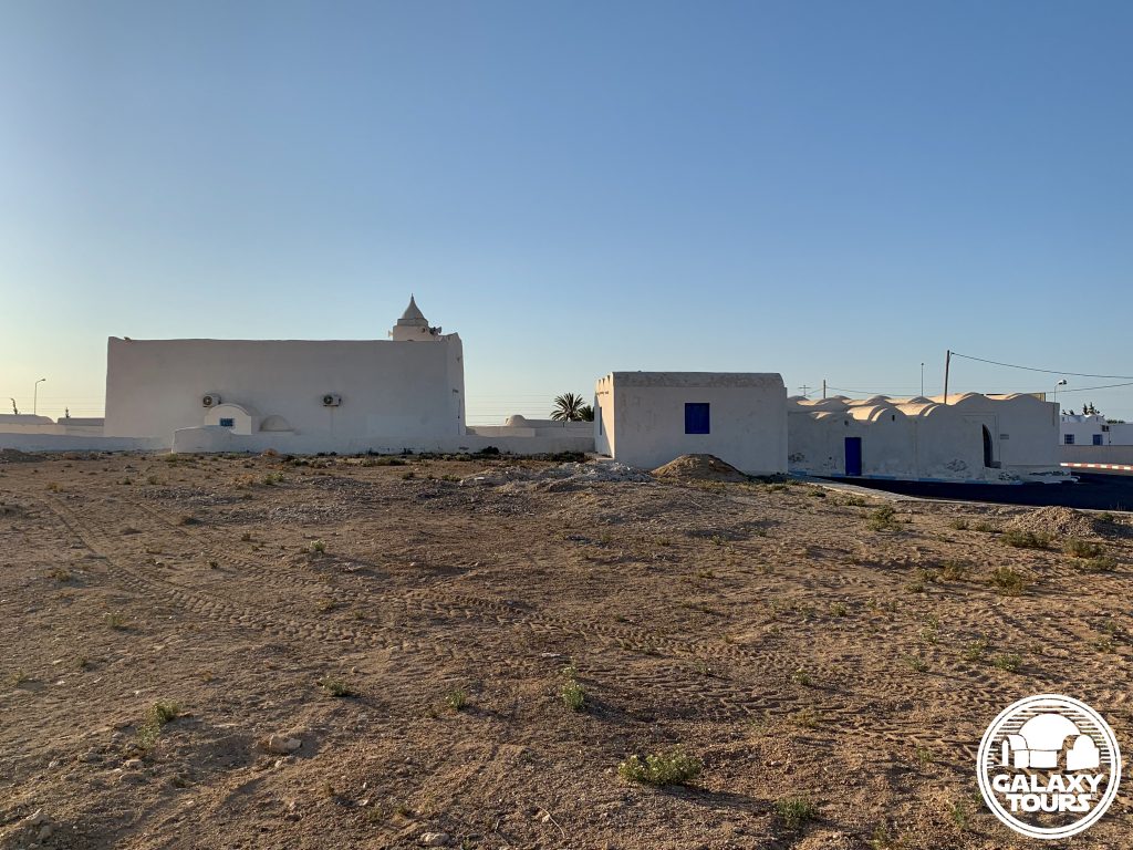
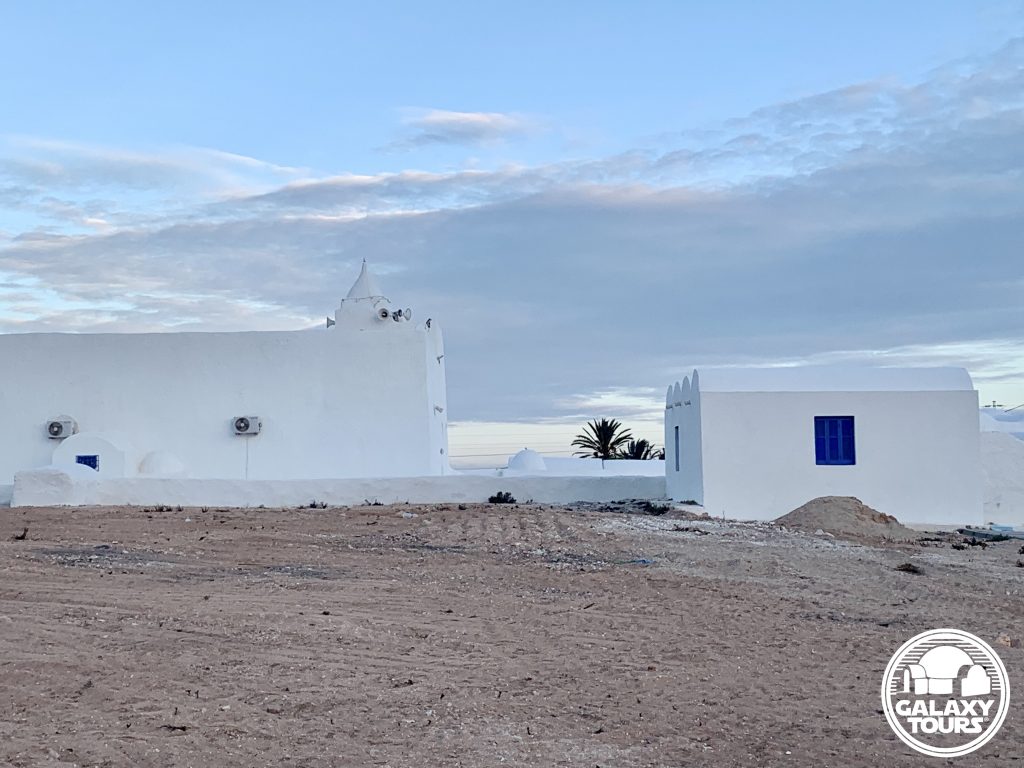
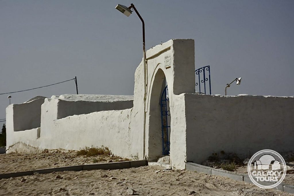
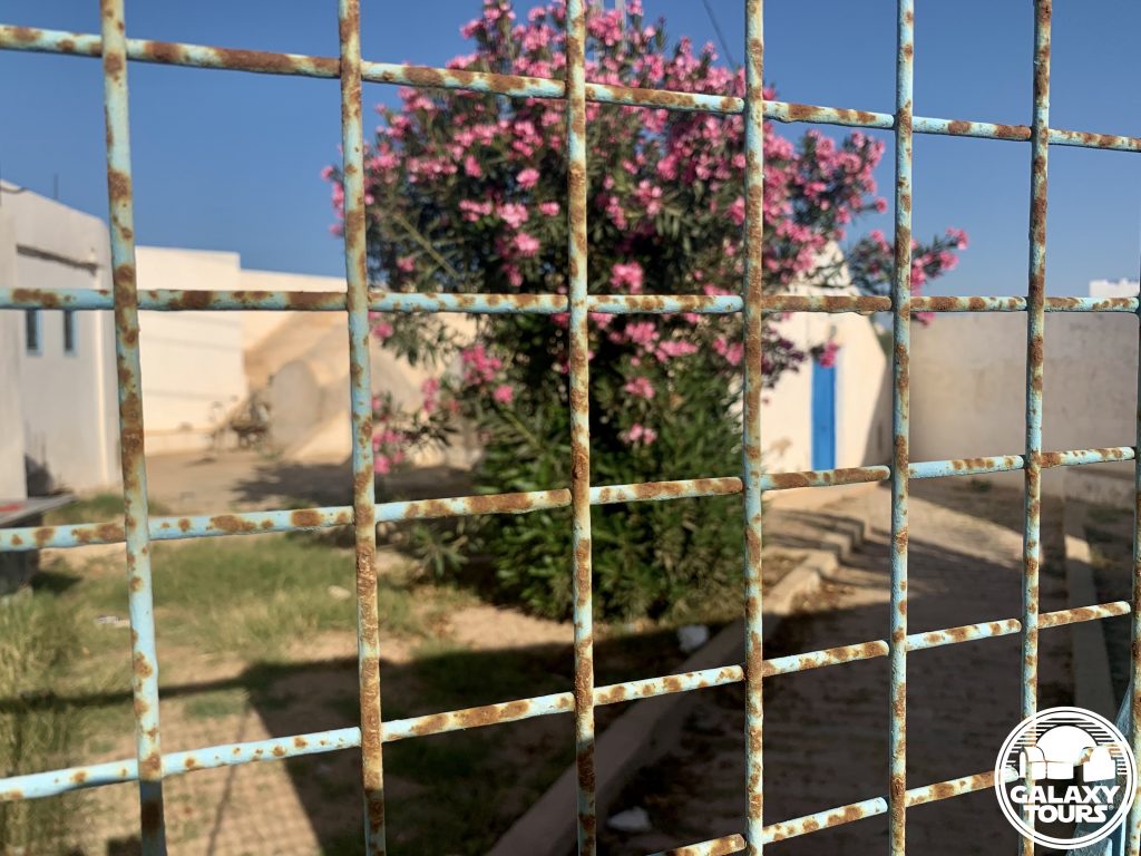
Drive-by: Bouregba Mosque complex includes a mosque, wool weaving workshop, and cemetery. The focal point of the quick drive-by recce visit was certainly the weaving workshop. The close proximity of the cemetery to the workshop likely designated the site unsuitable for filming from the start.


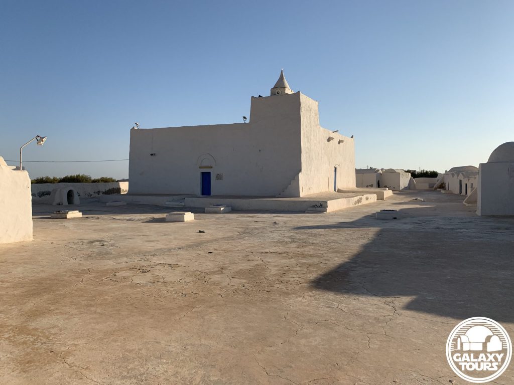
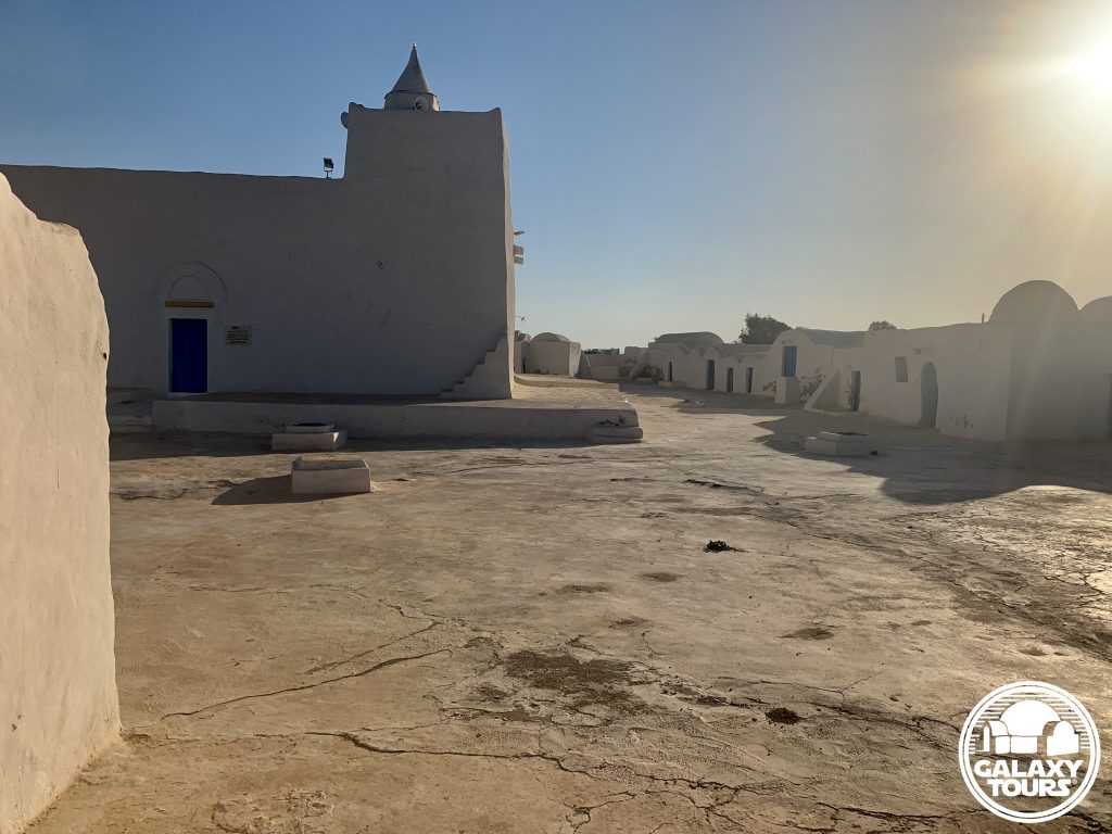
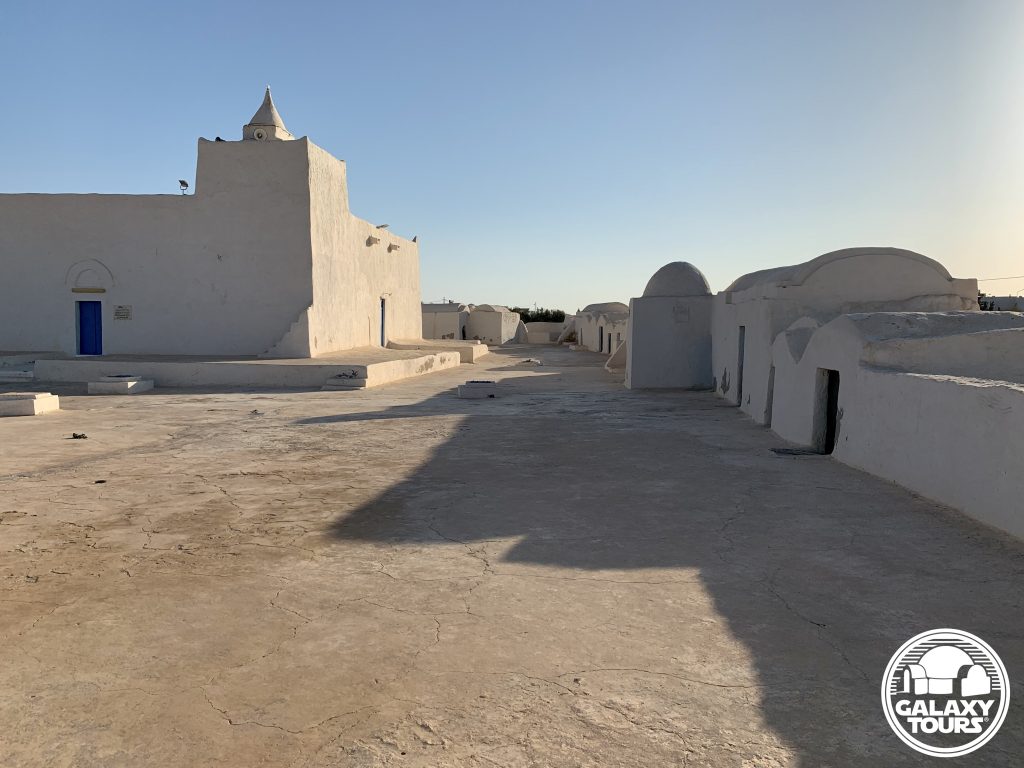
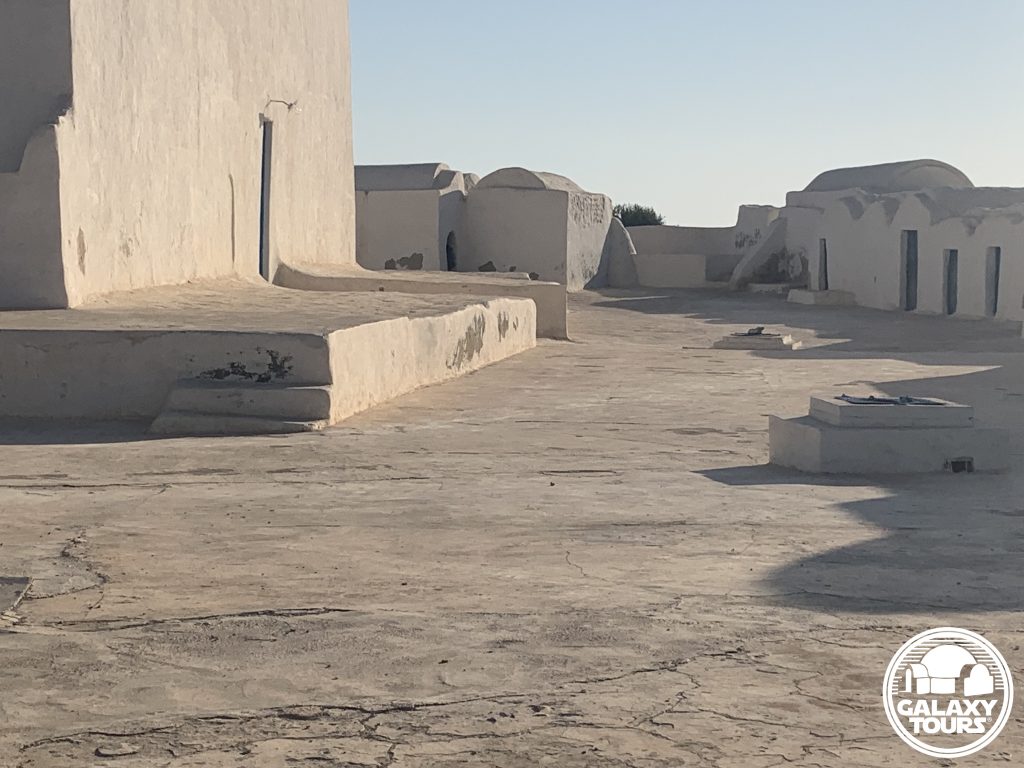
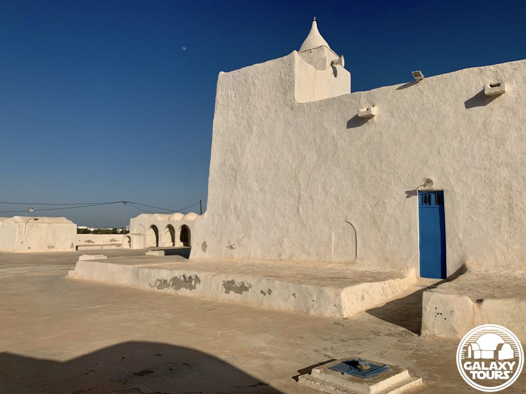
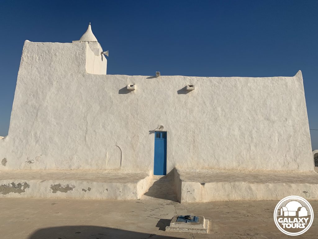
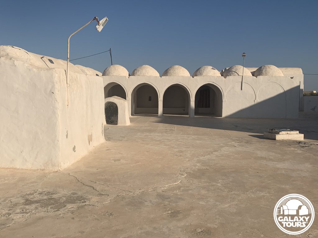
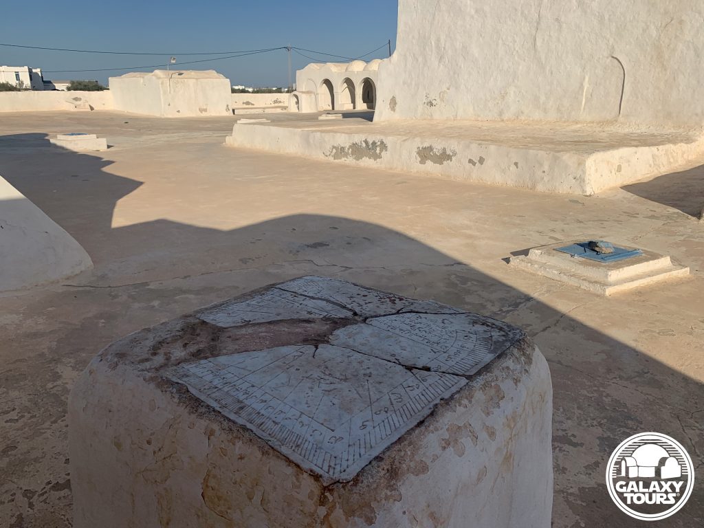
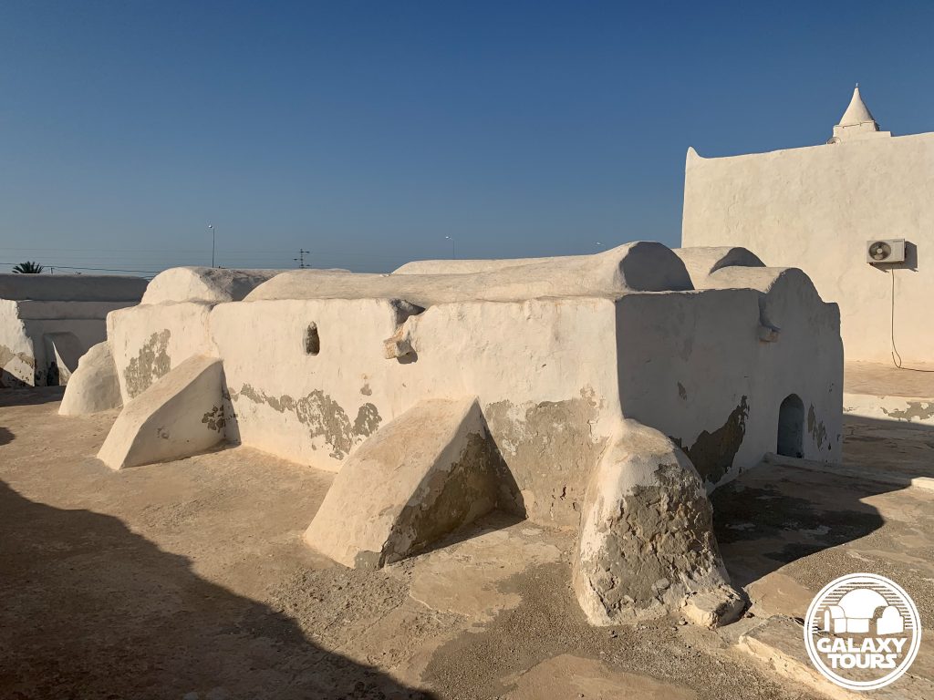
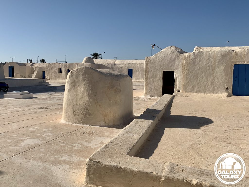
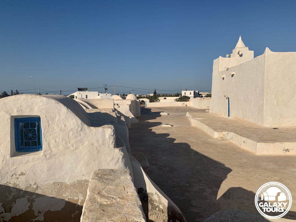
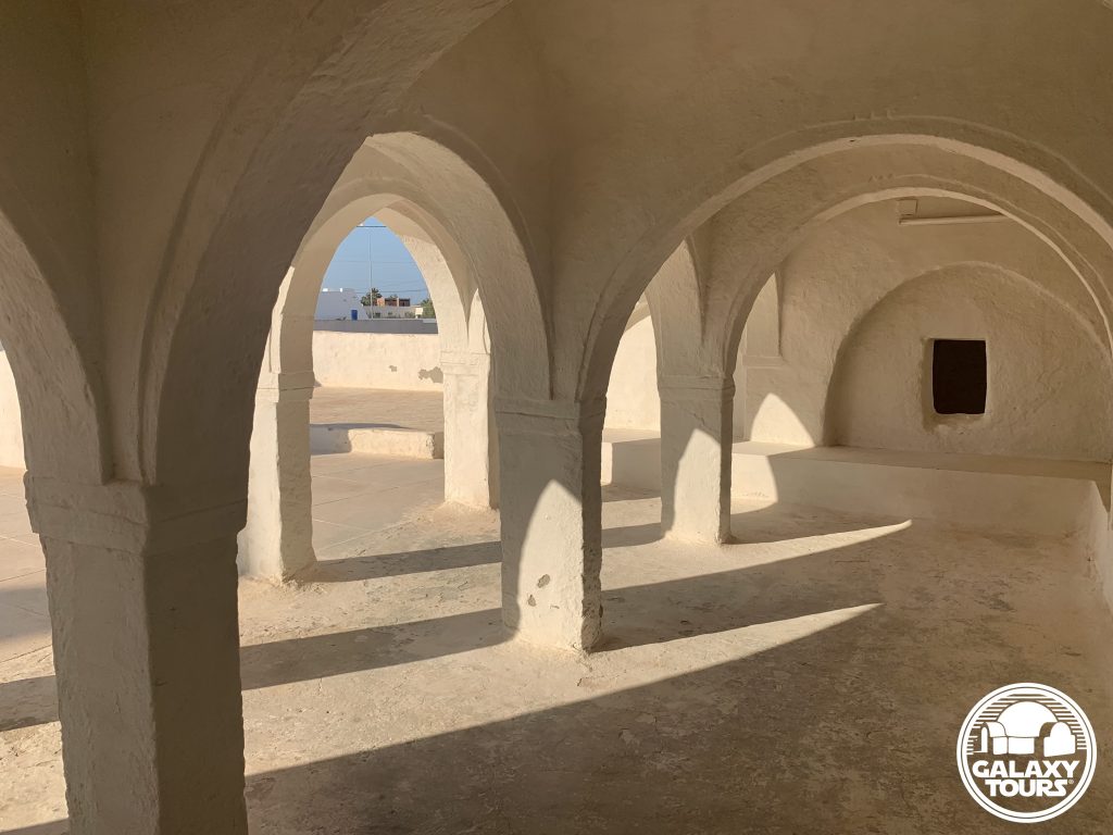
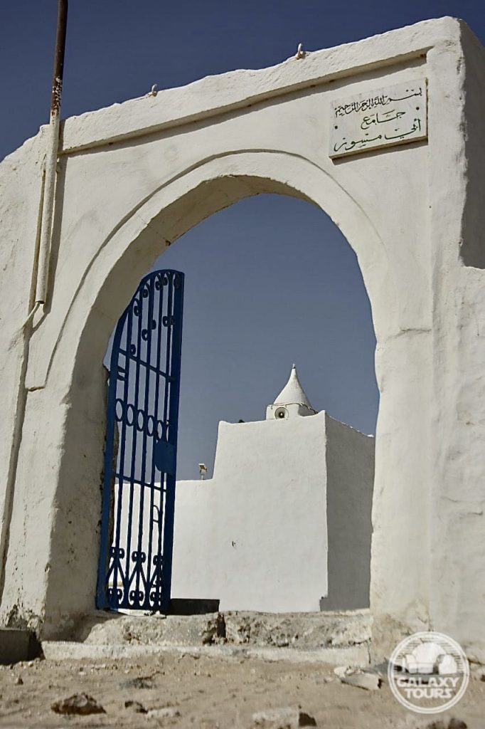
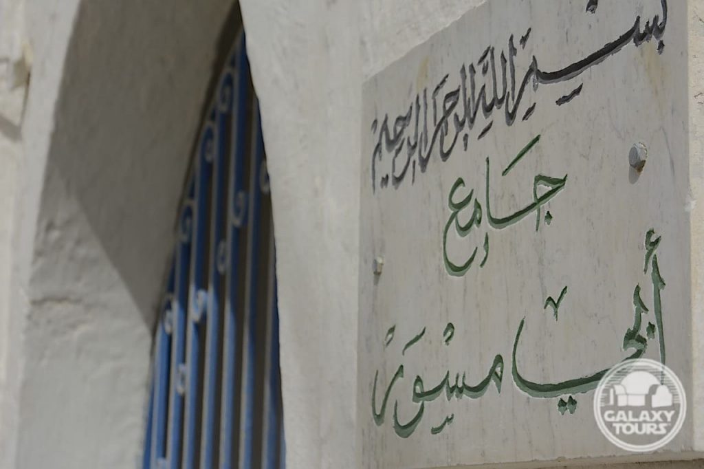
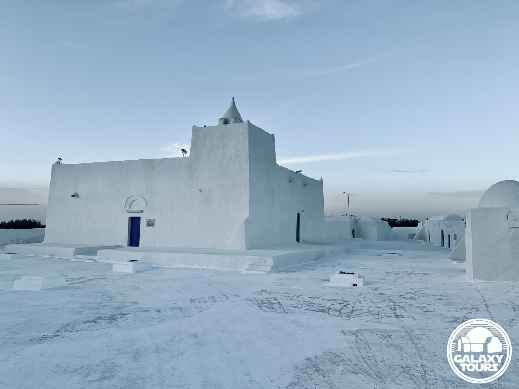
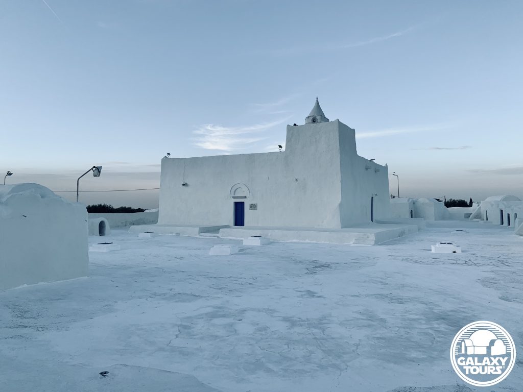
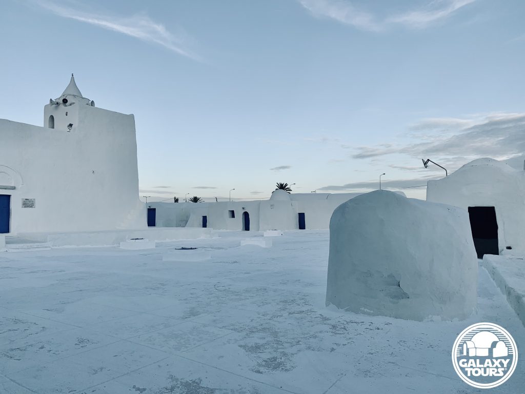
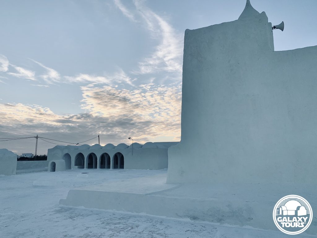
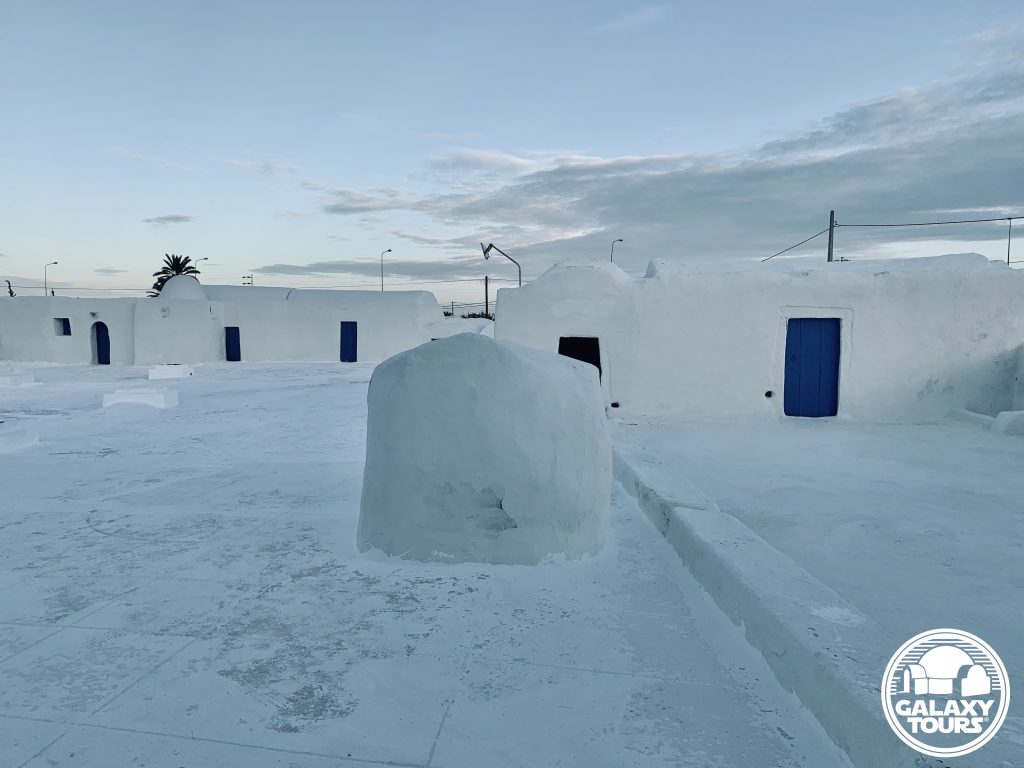
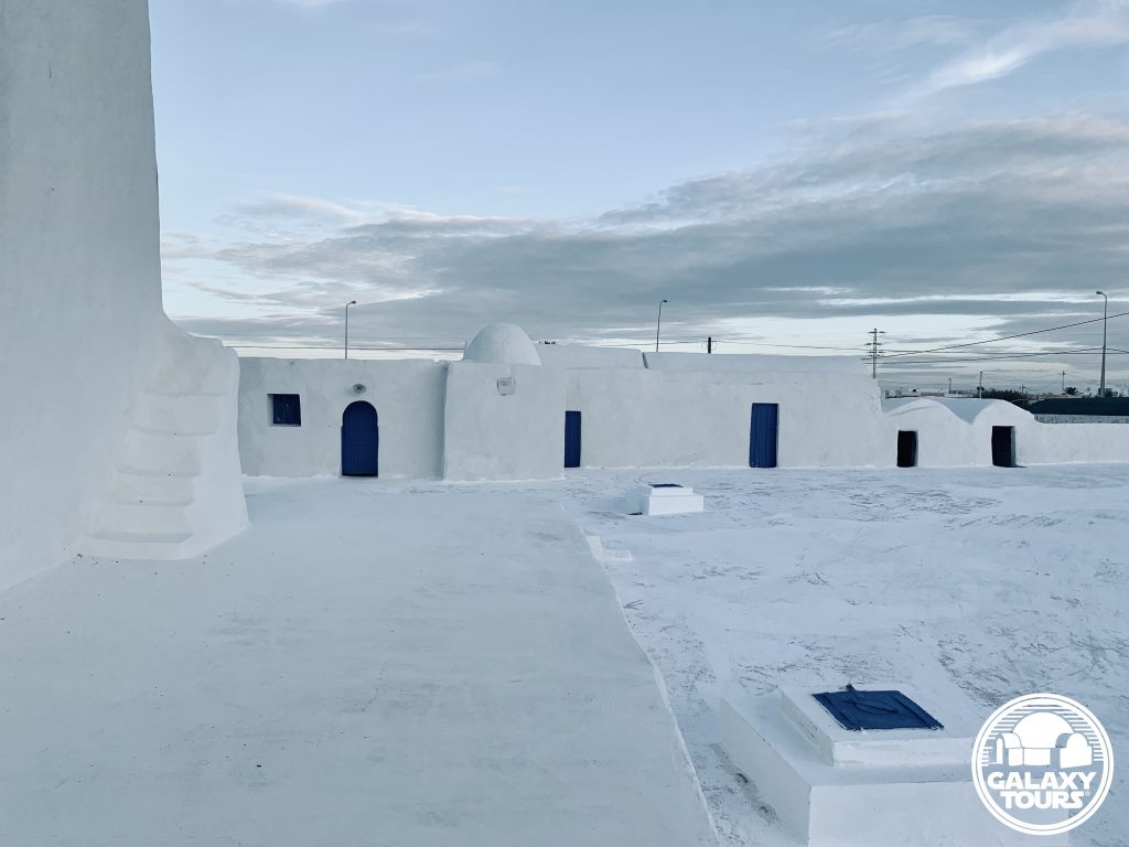
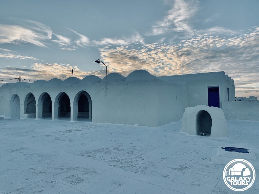
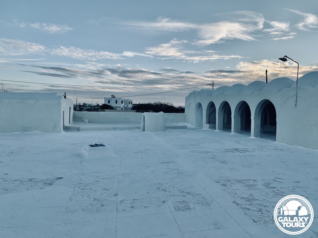
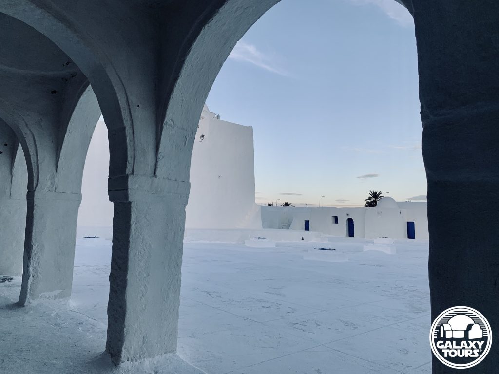
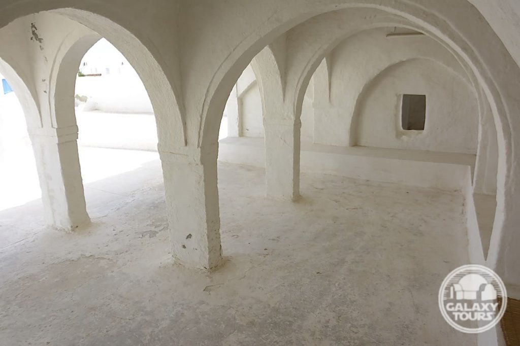
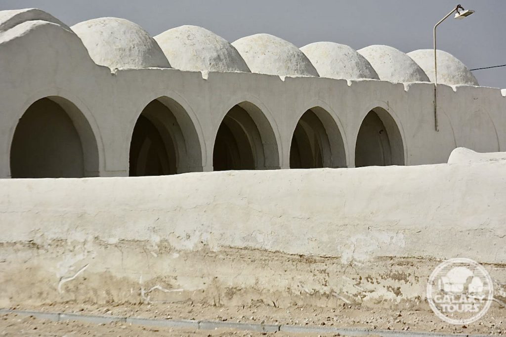
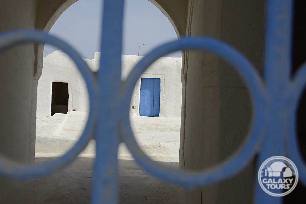
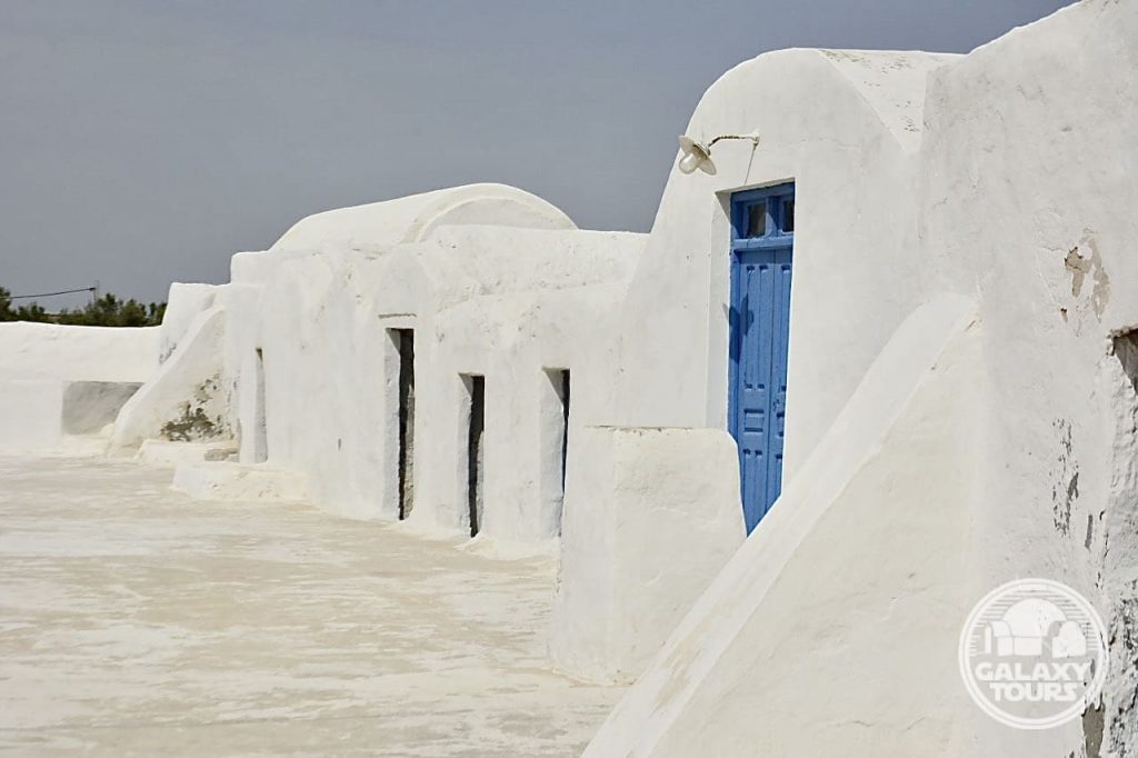
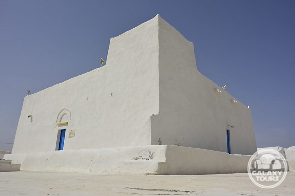
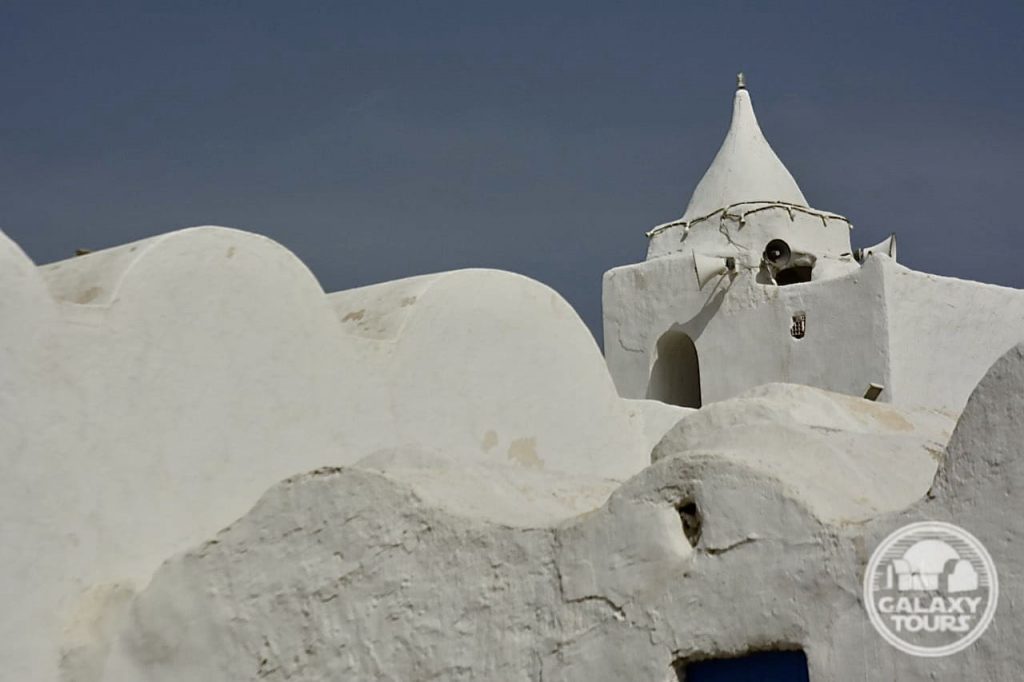
Abu Miswar Mosque
OVERVIEW
Site: Abu Miswar Mosque complex
GPS: 33.862203, 10.821254
Location: Hachan outskirts, Médenine Governorate, Djerba island, Tunisia
Description: Ibadi complex (late 9th century CE)
Star Wars recce:
Episode IV – Tunisia (November 1975)
Source: Original recce photographs (Barry)
Star Wars scouted set concept:
Anchorhead | Tosche Station (exterior)
Star Wars connection discovery:
Galaxy Tours (6 March 2021)
First Tosche Station: Based on geographic references listed in the first Tunisia-specific shooting schedule for “The Star Wars” (drafted on 27 November 1975), Abu Miswar Mosque—documented as Djerba’s oldest mosque and center of Ibadi learning—was most likely initially envisioned to be fictional Tosche Station. The decision to not film Tosche Station hangout scenes at Abu Miswar Mosque was likely made in late January/early February 1976, presumably driven by the logistical convenience of selecting a site (Sidi Jemour Mosque) closer to Ajim.